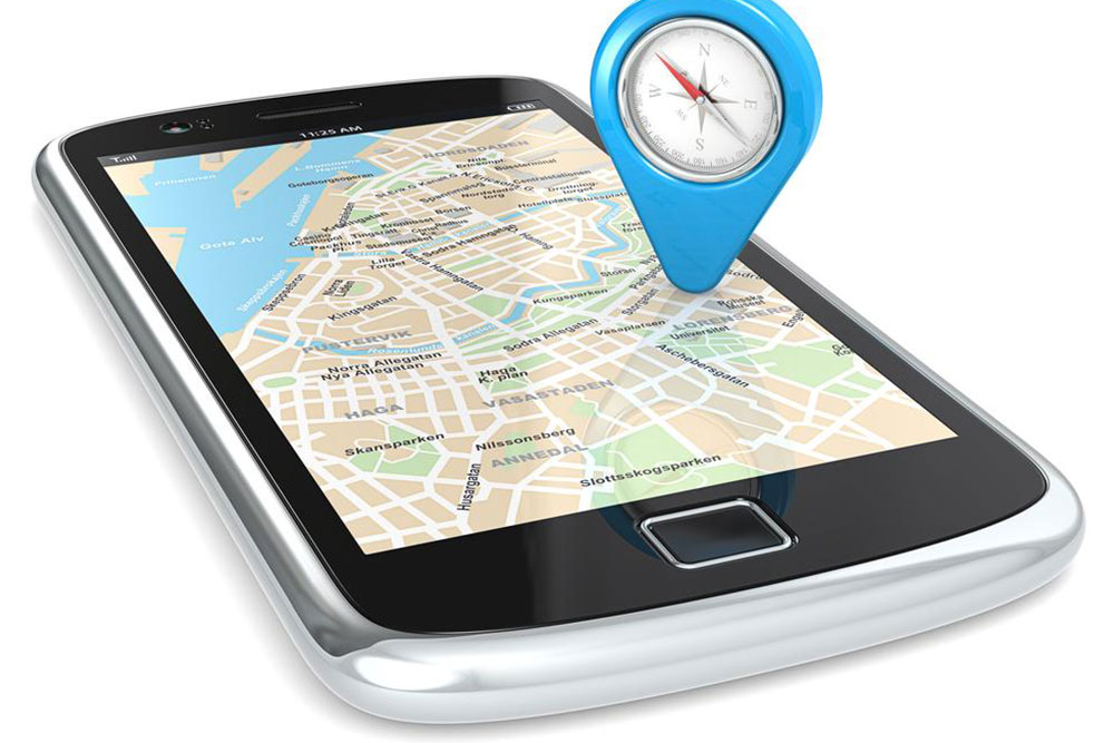
Top 4 Mobile GPS Navigation Apps to Use in 2023
Discover the top four GPS navigation apps for smartphones in 2023. These apps offer reliable offline navigation, real-time traffic updates, and user-friendly features. Suitable for Android users, they ensure seamless directions whether online or offline. Perfect for drivers and outdoor enthusiasts alike, these apps enhance travel convenience and safety. Explore options like HERE WeGo, MapFactor, MapQuest, and Polaris GPS, all designed to deliver accurate, efficient routes customized to your needs.

Best Four GPS Navigation Apps for Smartphones in 2023
As dedicated car GPS devices become less common, more drivers prefer using smartphone navigation apps. Statistics from J.D. Power and Associates in 2013 indicated that app users increased from 37% in 2011 to 47% in 2012. These apps are economical, needing only a smartphone and mount for seamless navigation. They offer features like live traffic updates, lane guidance, and various routing options, appealing to drivers worldwide. Many apps also provide offline access, ensuring continuity even without internet connectivity.
Popular navigation apps include features like real-time traffic, lane assistance, route customization, and pedestrian modes. Free options like Google Maps and Apple Maps are widespread but require an active internet connection for full functionality. Paid apps often offer offline navigation, ensuring reliable guidance anywhere. Here are four top-rated GPS apps for smartphones known for accurate directions and features:
HERE WeGo: A free app with an easy-to-use interface, offering offline maps, live traffic info, public transit data, and saved locations for quick access.
MapFactor: Free and powered by OpenStreetMap data, it provides voice-guided directions, customizable themes, and route planning across borders. A premium version unlocks extra map data.
MapQuest GPS & Maps: Offers dependable turn-by-turn navigation, real-time traffic alerts, and gas price updates to help save money.
Polaris GPS Navigation: Combines data from sources like OpenStreetMap and Google Maps, with features including trail recording, multiple coordinate formats, and standard navigation tools.
These apps work seamlessly on Android devices, making them reliable options for most smartphone users.
Note:
Our blog provides varied and useful information across different topics. While our content is based on comprehensive research, please treat it as guidance rather than a definitive source. We are not responsible for any discrepancies or updates on various platforms. Also, some offers available elsewhere might better serve user needs than those discussed here.